Rinjani Package, Mount Merapi
Facts
| Elevation: | 2,930 m (9,613 ft) | Prominence: | 1,356 m |
|---|---|---|---|
| Ribu category: |  Tinggi Sedang Tinggi Sedang |
Province: | Jawa Tengah (Central Java) |
| Google Earth: | kml | Other names: | |
| Rating: | |||
| Eruptions: | 1548, 1554, 1560, 1584, 1587, 1658, 1663, 1672, 1678, 1745, 1752, 1755, 1768, 1791, 1797, 1807, 1810, 1812-23, 1828, 1832-38, 1840, 1846, 1849, 1861-73, 1878-79, 1883-89, 1891-94, 1897, 1902-13, 1915, 1918, 1920-22, 1924, 1930-35, 1939-40, 1942-45, 1948, 1953-58, 1961, 1967-1970, 1972-90, 1992-2002, 2006, 2010-2011, 2013 | ||
Photos
Diberdayakan oleh  Terjemahan
 Terjemahan
Bagging It!
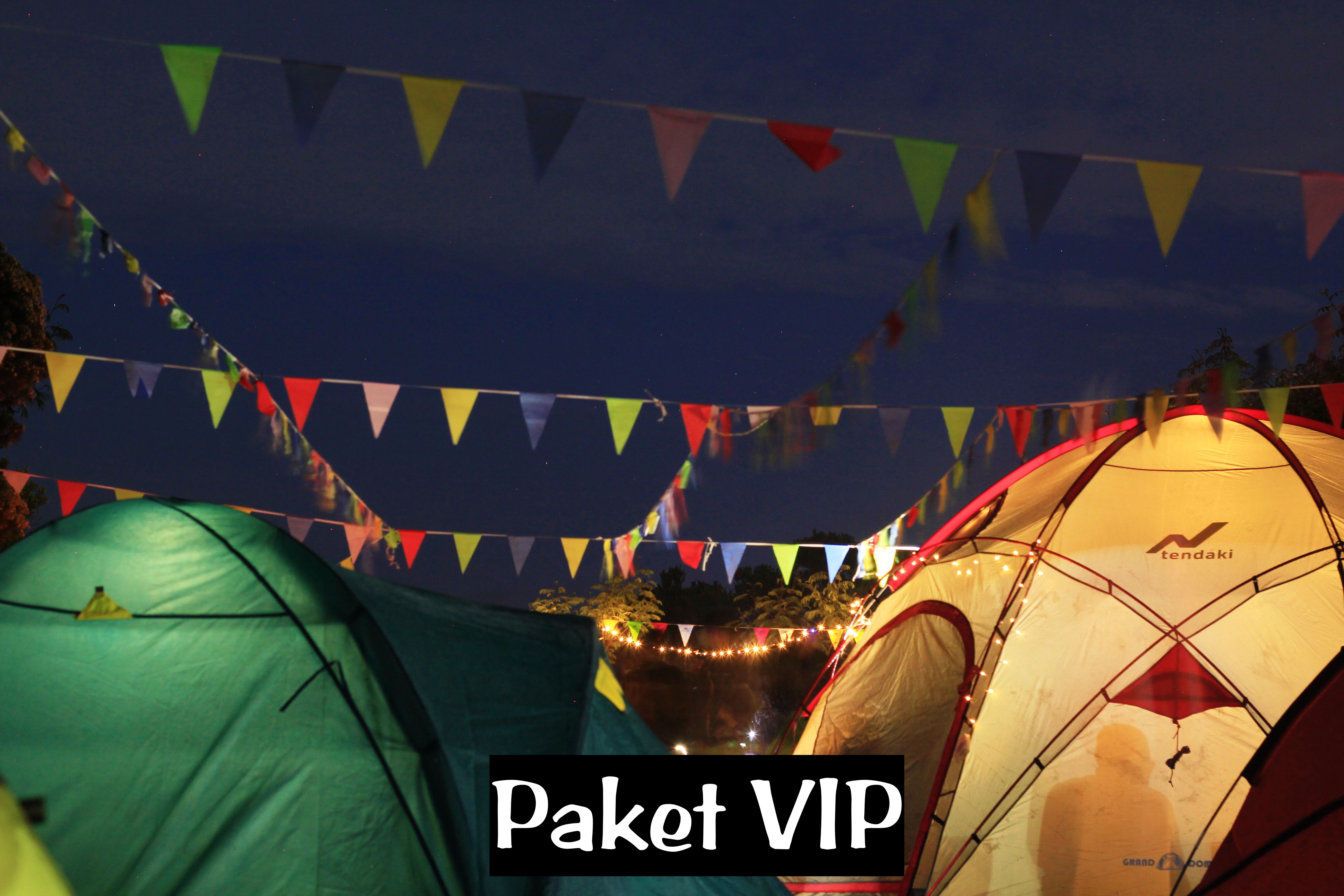
Many tour organizations offer treks up Merapi – for the best prices, check out the agents on Yogyakarta’s Jalan Sosrowidjian or proceed directly to New Selo. There are two routes to the summit area – from New Selo in the north and from Kaliurang in the south. Kaliurang is only a short drive from the city of Yogyakarta but people are banned from using this route due to it being too dangerous. Instead, the Merapi ‘basecamp’ is in New Selo. Most hikers start at midnight, or just after, in order to reach the summit area for first light. This is because Merapi generally emits more gases as the day goes on so early morning is the safest time to visit. Although there are one or two spots on the trail where it is possible to pitch a tent, there is a large, rocky campsite area, Pasar Bubrah (‘dismissed market’) at about 2,675m beneath the summit cone which has one or two monuments and some very large boulders with graffiti. This is an ideal place to have a couple of hours rest just before dawn although it is basically a huge boulder field with no grass whatsoever.
After arriving in Yogyakarta it is rather easy to find transport to the mountain village of Selo from where the actual climb to Gunung Merapi starts. A taxi can be chartered for about Rp 250,000. It is highly advisable to arrange for your taxi to pick you up the following day as it can be rather difficult to organize transportation in the mountain village of Selo. To cover the 80km from the Airport to Selo will take between two to three hours depending on the traffic.
When arriving at Selo (1,500m) drive directly to the turn off towards “NEW SELO” which is the starting point for the hike. The basecamp is before the end of the road on the left and if it’s late in the evening you will probably see other hikers preparing their backpacks about to set off . ‘Accommodation’ – if you need it – is simple but spacious and as in all rural areas in Indonesia very basic with few comforts. Here your own sleeping bag will guarantee a comfortable short early evening nap in the fresh cool mountain air. Guides can also be found here.
From the basecamp, follow the road up the hill for 20 minutes to the large NEW SELO sign next to a few warungs. This place is a very popular viewpoint for local tourists, because you can enjoy terrific views of Gunung Merbabu across the mountain pass as well as over Selo and the surrounding fertile farming area. For the first 30 minutes after the sign the track follows rather steeply through large plantations with a steep drop to your left. This small path can be very dusty during the dry season, but still offers plenty of grip on the way up.
By the time the last fields are left behind, you are close to 2,000 metres and gradually the forest trees get smaller and farther in between, and with it the surroundings offer terrific views back down the trail. As the woods get less dense the path starts to gradually get more and more rocky. Once you pass the national park sign it will take approximately 45 minutes of good hard uphill going to reach Pos 1 (2,150m) that is enclosed and protected by large boulders, and offers welcome protection from the often very strong winds.
If you are lucky to have a full moon and a clear sky then the crystal clear mountain night will unveil for you an unbelievably scenic spectacle with surreal shapes of more volcanoes both near and far, set in soft velvety clouds allowing the peaks to reach the star spotted skies. After a comfortable 30 to 40 minutes the top of the next ridge is reached. The many memorial plates (2,400m) are a reminder that the utmost of care must be taken when getting to the top of this very active volcano.
From here the path is actually rather flat for a short 300-400 metres before ascending steeply to a large new memorial monument (2011). From here it is a five minute stroll to the middle of a huge boulder field known as Pasar Bubrah which is often full of tents at weekends. There are some large rocks which can be used for shelter against the wind but it is a rather exposed area and camping might be more comfortable – and warmer – lower down the trail. On the right you should be able to see the twin cones of Sumbing and Sindoro. On the left is a minor yet shapely peak which is the beginning of an alternative route back down the east side of the mountain which brings hikers out at Deles village. Most people start the final section of the climb up the volcanic cone itself at first light. It is important to remember that you should avoid being on the summit before sunrise, as on the top the shelter is non-existent and the freezing cold winds can cool your over heated body in minutes down to very dangerous levels.
Depending on recent activity you may not be allowed to progress to the volatile crater rim, but it may be possible. From Pasar Bubrah the steep rocky cone of Merapi is clearly visible above you and it takes a difficult 45 minutes of slipping over scree – and avoiding large rocks sent down by the person in front of you! – to reach the actual crater rim. It’s a very tiring section of the trail and it’s not uncommon to see people giving up halfway. Inevitably, your shoes will also fill up with small stones and volcanic sand. As you get higher, the view becomes more and more splendid. To the left (east) you should be able to see the large mountain of Lawu towering above the clouds in the distance.
Eventually you will reach an area where you can feel that the ground gets a lot warmer and in a few areas you will pass several vents where piping hot volcanic steam is blowing out from the mountain. From this area it will take you only about 15 minutes to get to the eerie crater rim. The final 100 metres unveil an unbelievable mountain world of scree and huge shards of volcanic rock created in the enormous 2010 eruptions. The smell of sulphur can be overwhelming.
Prior to 2006, the highest point of Merapi was a huge shard of rock called Puncak Garuda. After the 2006 eruption, the highest point of the volcano was part of a new lava dome and impossible – or at least incredibly dangerous – to reach. However, the devastating eruptions in October and November 2010 led the a great change in the shape of the summit area. There is no longer a lava dome, but rather a huge new crater. Anyone who climbs again now will be amazed at the change since previous visits. In December 2012, the rim was at an elevation of 2,905m and offered tremendous views down into the 200 metre-deep and 500 metre-wide crater. Because of the amount of sulphur gas in the air which blows over the rim itself it is unlikely that you will be able to gaze southwards towards the city of Yogya itself. However, the vertical crater walls and brand new twisted crater rim are fascinating in their own right. Needless to say, extreme care needs to be taken on the rim because it is a very dangerous place quite regardless of the volcanic activity.
In October 2011, a circuit of the rim was utterly impossible but from the place at which the rim was reached hikers could walk perhaps ten or twenty metres, both left and right. If you took a left, you could climb up to a flat section of the rim which arguably offered the finest views on the rim. A few hikers ventured here in the early morning sunlight to take photos of one of the world’s most destructive volcanoes. For those intent on reaching the true summit, which was ‘baggable’ once again, it lay to the right and was a tricky and rather unsafe place to visit. For confident scramblers it was just five minutes of using all fours to clamber up to the tiny top. For anyone else, it was a considerable risk. During July 2012, further minor tremors and volcanic activity lead the crater rim to collapse in part, but the height of the current highest point of the volcano is the same as it was in 2012, since the collapsed areas were mostly lower parts of the rim. However, hikers are not encouraged/allowed beyond peering over the rim itself and it would be very risky indeed to attempt to reach the highest point.
According to GPS equipment in October 2011, the true summit was 2,930 metres high – that’s 38 metres lower than prior to the 2010 eruptions. More interestingly, the actual summit location had moved significantly – in October 2011 it was about 40 metres to the NNW when compared to how it was before. The views from the true summit were not much better than from the lower parts of the northern rim except that the twin giants of Sumbing and Sindoro can be seen. As could be expected, the scary 2011 summit had a very, very temporary feel to it – more like a horror film set about to be demolished than an enduring natural landmark! And indeed it was partially demolished in 2012 by the forces of the volcano.
After enjoying the surreal and utterly unusual landscape and beautiful views, it will take you a comfortable 3 and a half hours to get back to the large New Selo signs, which which time the warungs should be open for business and farmers should be out and about tending to their land.
Bagging information provided by Heinz von Holzen and Daniel Quinn (updated December 2012)
Practicalities
| Getting there | Public transport from Yogya would take a long time. It is better to hire a taxi or go with a tour guide from Yogya. | ||
|---|---|---|---|
| Accommodation | There is basic accommodation in Selo but most people choose to stay in Yogya where there are hundreds of hotels and climb the mountain at night in time for dawn. | ||
| Permits | Register at New Selo basecamp for just Rp5,000 (Dec 2012) – take a photocopy of your passport photo page just incase. | ||
| Water sources | Not available. Take enough supplies with you. | ||
| Local Average Monthly Rainfall (mm): | |||
Location
Origins and Meaning
Gunung Merapi = Firey Mountain. From the Old Javanese apuy or api or apwi (“fire”) with the prefix mer- meaning “possessing the quality expressed in the base word (like certain uses of the Indonesian-Malay prefix ber-)”. (George Quinn, 2011)
‘Fire mountain’ in Javanese/Indonesian, clearly due to its frequent
and devastating eruptions. Although most nearby villages have their own
myths about the creation of Mount Merapi, they have numerous
commonalities. It is believed that when the gods had just created the
Earth, Java was unbalanced because of the placement of Mount Jamurdipo
on the west end of the island. In order to assure balance, the gods
(generally represented by Batara Guru) ordered the mountain to be moved
to the centre of Java. However, two armourers, Empu Rama and Empu
Permadi, were already forging a sacred keris at the site where Mount
Jamurdipo was to be moved. The gods warned them that they would be
moving a mountain there, and that they should leave; Empu Rama and Empu
Permadi ignored that warning. In anger, the gods buried Empu Rama and
Empu Permadi under Mount Jamurdipo; their spirits later became the
rulers of all mystical beings in the area. In memory of them, Mount
Jamurdipo was later renamed Mount Merapi, which means “fire of Rama and
Permadi” (Wikipedia, 2011).
Links and References
Wikipedia EnglishWikipedia Indonesia
Wikipedia. 2011. Mount Merapi. Accessed from http://en.wikipedia.org/wiki/Mount_Merapi
Call Center Sang Pemimpi dan Pemandu Wisata eXploreJogja Xplore Indonesia
085.643.455.685 (WhatApp / Call / SMS)
D72E559E / 7A722B86
WisataGunung WisataAdventure WisataReligi WisataPendidikan WisataSelfie
Instagram : instagram.com/xplore.wisata
Instagram : instagram.com/xplore.gunung
Instagram : instagram.com/syarifain
Fanspage Umum : facebook.com/xplore.wisata
Fanspage Gunung : facebook.com/xplore.gunung
Support By Website :
#porter #guide #portergunung #guidegunung #asosiasipendaki #pemandu #transport lokal #rinjani 3.726 mdpl #semeru 3.676 mdpl #slamet 3.428 mdpl #lawu 3.265 mdpl #merbabu 3.145 mdpl #sindoro 3.150 mdpl #gunungprau 2.565 mdpl #gunungsikunir #porterrinjani #portersemeru #porterargopuro #portermerbabu #porterlawu #porterslamet #portersumbing #portersindoro #kaosadventure #kaosbacpacker #backpackerindonesia #opentripsemeru #opentripmerbabu #opentripkarimunjawa #opentriprinjani #cikuray #gede #parango #gunungsalak #bromo #karimunjawa #guapindul #raftingsungaielo #raftingelo #raftingprogo #tangkubanperahu
#tippendakipemula #bookingonlinesemeru #bookingonlineparango #murahmeriah
#tippendakipemula #bookingonlinesemeru #bookingonlineparango #murahmeriah


.webp)


0 Komentar